GIS Services – Project Management
KCI has proven expertise in providing and executing project management services. KCI will execute project management tasks under the guiding principles of the Project Management Institute’s (PMI’s) project management methodology. Leveraging their project management experience, KCI will coordinate and manage the logistics to deliver services and products on schedule and on budget while meeting the needs of our clients. Our project management team includes credentialed Project Management Professionals (PMPs), who collectively bring an unparalleled breadth and depth of experience to help satisfy the client’s project representatives, and the public. Our project managers have access to and are supported by industry leading subject matter experts in a variety of geospatial services engineering disciplines providing our clients with a unique, cross-disciplined team. Our elite project team provides clients with a single comprehensive team that can meet multiple, various and parallel needs, while ensuring the success of our client’s initiatives.

GIS Services – Business Analysis
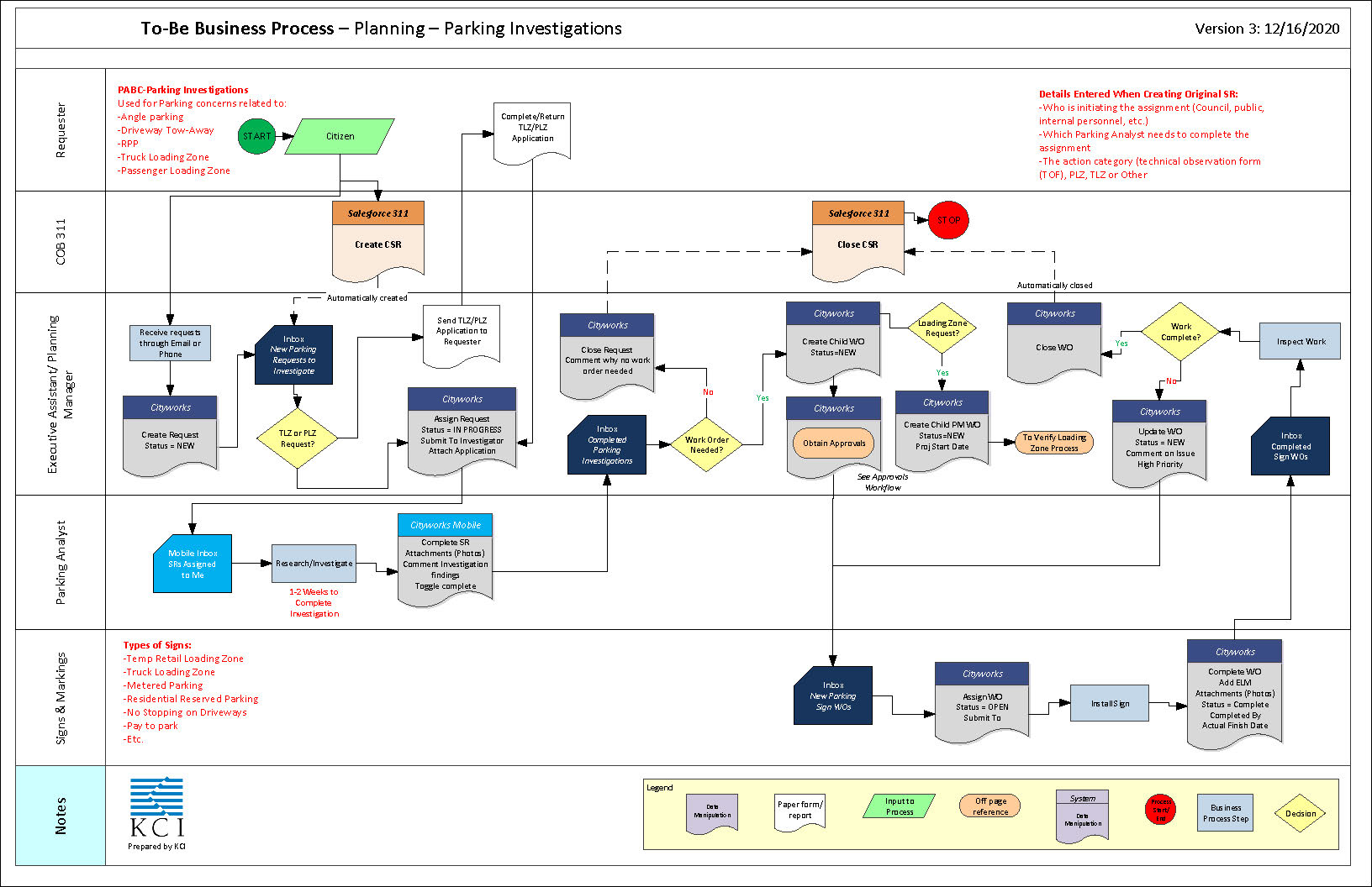
KCI’s roster of proven, experienced and successful business analysts provide support services related to requirements gathering, documentation, design, data modeling and migration, deployment and implementation coordination, test plan development, issue mitigation, user acceptance testing, training, and ongoing maintenance. During requirements gathering sessions, our team of business analysts work directly with stakeholders, end users, and technical staff to gain a complete understanding of the client’s current processes as well as functional, data, and security requirements. KCI will build upon these “as-is” processes and will develop “to-be” workflows, which implement strategic process improvements to eliminate redundancy, increase productivity, reduce cost, and apply industry best practices. KCI’s goal throughout the business analysis process will be to serve as a conduit between the technical staff of developers and data managers and the final end user, including stakeholder employees, jurisdictional representatives, and the public.

GIS Services – Application Development

GIS Services – Data Management
KCI’s data management team has the experience to provide expert-level support related to such tasks as database design and development, data management and digitization, geo-referencing, advanced spatial analysis, custom map development, publishing data, script development, ESRI technology upgrades, commercial off-the-shelf configuration and other GIS/IT services as needed. KCI’s data services team can provide multiple in-parallel, ad-hoc data services for data analysis, data migration, data optimization, and data modeling as well as custom off the shelf configuration in Arc Collector, Survey 123 and WebApp Builder. KCI is a long-time Esri business partner, which has provided the team with the deep understanding of the Esri suite. This partnership lineage allows KCI the ability to provide clients with data services for a multitude of different ArcGIS versions.

GIS Services – Asset Management
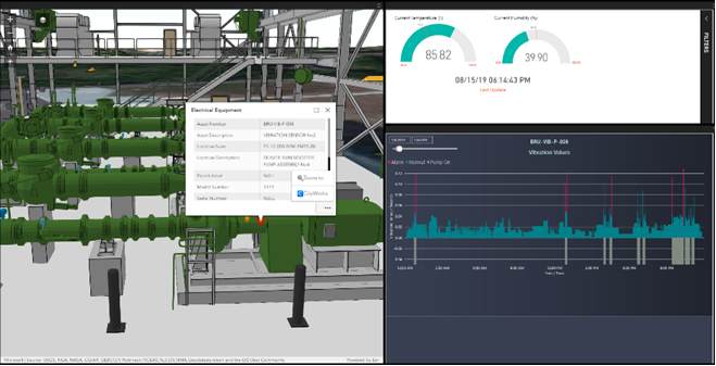
The KCI team is exceptionally qualified to provide the necessary Enterprise Asset Management (EAM) consulting services to support our client’s needs from strategic to tactical tasks. Our Asset Management professionals have become certified by the Institute of Asset Management (IAM) in the “Principles of Asset Management.” The KCI team has leveraged this knowledge to promote good asset management concepts and principles as well as an awareness to our clients regarding industry standards and practices. Our goal is to provide guidance to our clients that is in line with IAM’s core principles and best practices when establishing any new program or organization. Through broad-based evaluation of the assets and the organization, we work with our clients to assess current capabilities and determine best next steps to achieve quick wins while simultaneously developing long-term plans. Our asset management practitioners possess a deep understanding of infrastructure and are equally business, financial, and IT focused. Our team of asset management professionals can successfully balance technical and engineering expertise to develop practical solutions. KCI has demonstrated competency in leveraging data to make analysis-based decisions, strategic planning across multiple asset groups, implementing enterprise technology to enhance business processes, tracking asset and organization performance, and risk modeling. We work with clients to develop scalable solutions for managing the portfolio of assets in a way that leads to a sustainable organization that has the tools required to deliver a desired service level and acceptable risk level. Our in-depth knowledge of geospatial solutions and enterprise technology coupled with engineering expertise enables our multi-dimensional team to apply technology in an appropriate way to support your business processes and organizational needs. KCI is a Gold-Level Cityworks implementation partner.

GIS Services – Land Management
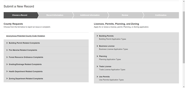
KCI’s land management team provides project management, business analysis, system configuration, reporting and IT consulting in support of government agencies that are implementing software solutions for land management processes. KCI’s resources partner with government entities to help improve performance and efficiency of the day-to-day operations for land management and licensing processes including planning, zoning, land acquisition, development review and approval, permitting, business licenses, trade licenses, liquor licenses and code enforcement. The goal is to streamline government operations through the use of commercial-off-the-shelf software, public portals for citizen self-service (online permitting applications, payments, and inspection requests), document management systems, mobile inspection capabilities, and integrations with GIS.

